
Drones for Critical Infrastructure
Drone Inspections of Critical Infrastructure — Power Transmission and Rail
Safe diagnostics of HV transmission lines, substations, catenary systems and rail track beds — without halting train traffic or disconnecting voltage. Documentation ready for maintenance records and tender procedures.
Growing capability: we are preparing formally and with equipment to work with critical infrastructure operators under tender procedures. Corridor LiDAR scanning will launch once our fleet adds a DJI Matrice 400 platform.
48 MP
Photo resolution
112×
Optical zoom
< 24h
Report delivery
0
Traffic halts or outages
What does a critical infrastructure drone inspection cover?
Transmission line inspection (PSE)
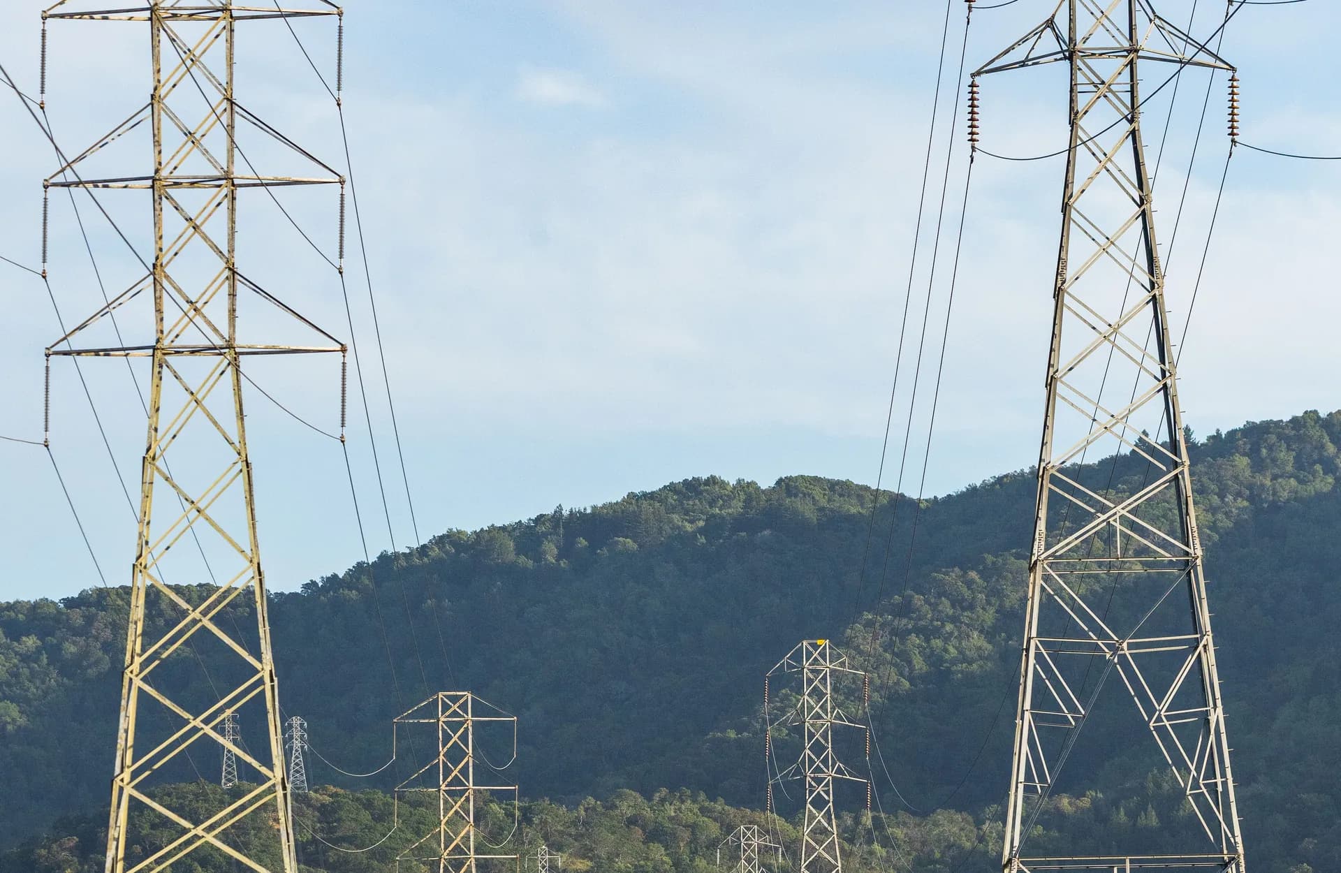
Detailed photos of conductors, insulators, hardware and support structures of 110/220/400 kV high-voltage lines. We detect corrosion, mechanical damage, insulation loss and excessive sag without approaching live conductors.
Catenary and track-bed inspection (PKP PLK)
Inspection of catenary systems, traction poles, insulators and track-bed condition. We detect contact-wire damage, corrosion of support structures and irregularities around the track — without closing rail traffic.
Engineering structure inspection
Technical condition documentation of rail viaducts, bridges over rail lines and embankments. Photogrammetry and 3D models support diagnostics without erecting scaffolding over live tracks.
Substation and traction substation thermography
Thermal imaging of transformers, switchgear and traction substations under load. We identify overheating connections and overloaded elements before they fail.
Corridor and vegetation monitoring
Checking tree and vegetation encroachment into the line's protection corridor. High-resolution photos and tree-height measurement support protective clearing planning.
Technical report matching operator requirements
Complete PDF/GIS report with geolocated faults, priority classification and photo documentation — in a format ready for handover to maintenance crews and tender documentation.
Who benefits from critical infrastructure drone inspections?
Linear infrastructure — transmission lines, catenary systems, track beds — needs cyclical inspections across tens or hundreds of kilometres while keeping traffic and power supply running. Drones deliver that inspection without halting the infrastructure's operation, cutting inspection time from days to hours.
Get Free QuoteHow does a critical infrastructure drone inspection work?
Site analysis and formal approvals
We define the route scope, check airspace zones, obtain the approvals needed for flights near specially protected infrastructure, and coordinate the schedule with the line or track operator.
Inspection flight
The drone with thermal and optical cameras (112× zoom) flies the route at a safe distance from conductors and catenary systems. Every photo is geotagged with RTK accuracy ±2 cm.
Data analysis and fault classification
We process the material, classify anomalies by priority (urgent/planned) and identify elements requiring immediate intervention.
Report and documentation handover
We deliver a PDF/GIS report with a fault map, GPS coordinates and recommendations — ready for inclusion in maintenance or tender documentation.
Drone applications in critical infrastructure
Frequently asked questions — critical infrastructure
Does a drone inspection require halting train traffic or shutting down the power line?
What approvals are needed to fly over rail and energy infrastructure?
Do you offer corridor LiDAR scanning?
Do you have experience working for PKP PLK or PSE?
How long does inspecting a 10 km line or track section take?
How much does a critical infrastructure drone inspection cost?
What documents does the client receive after the inspection?
Ready to get started?
Contact us and we'll send you a quote within 24h.