Services
Drone Services for Construction & Developers
Comprehensive support for developers, engineers, and property managers. We deliver precise data that saves time and minimizes investment risk.
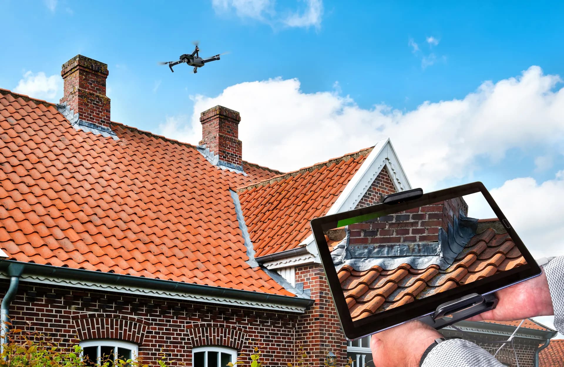
Visual & Technical Inspections
Safe inspection without scaffolding
We conduct detailed assessments of roofs, facades, chimneys, and hard-to-reach infrastructure. Our drones capture high-resolution (4K) imagery enabling detection of cracks, defects, corrosion, and gutter damage. Reports include photographic documentation with geolocated defects.
What's included
- 4K roof and facade inspections
- Crack, corrosion, and defect detection
- Chimney and gutter inspection
- Full photographic report with geolocation
- No scaffolding required
- Worker safety
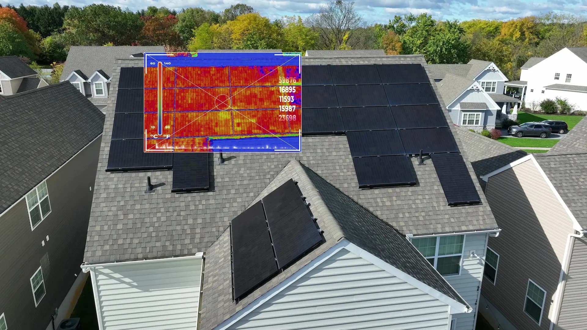
Building Thermography & Audits
Precise thermal diagnostics
Radiometric thermal cameras on drones identify thermal bridges, moisture in insulation, leaks, and damaged solar panel cells. This is critical data for energy audits and technical building acceptance.
What's included
- Thermal bridge detection
- Moisture identification in insulation
- Leak diagnostics
- Photovoltaic panel inspection
- Energy audit data
- Precise radiometric measurements
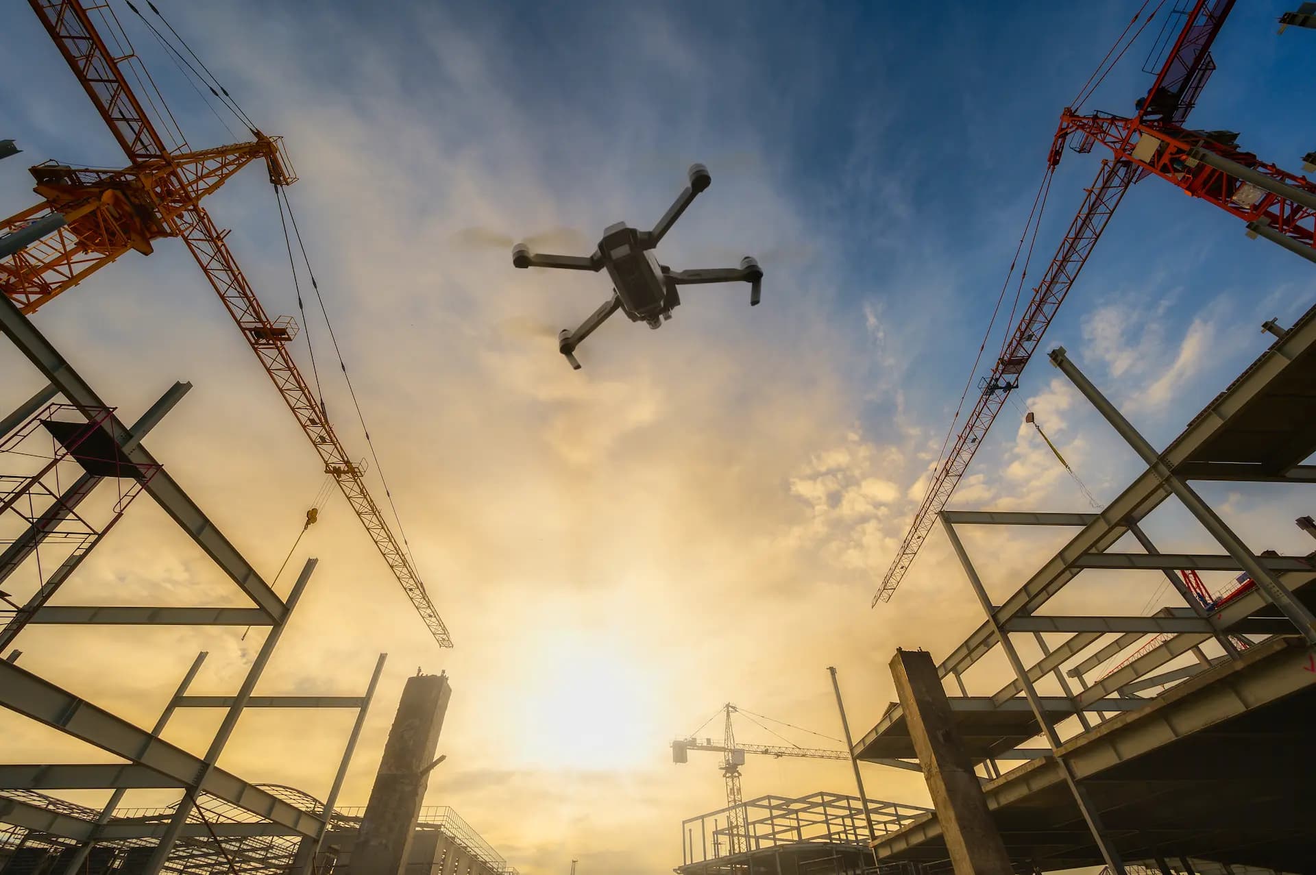
Construction Progress & 3D Models
Aerial construction monitoring
Regular flights over construction sites for investment monitoring. Materials for investor reports, material stock verification, and schedule control. Orthophotomaps and 3D terrain models compatible with CAD/BIM software.
What's included
- Regular progress reports
- Orthophotomaps and 3D models
- CAD/BIM compatibility
- Material stock verification
- Schedule control
- Investor documentation
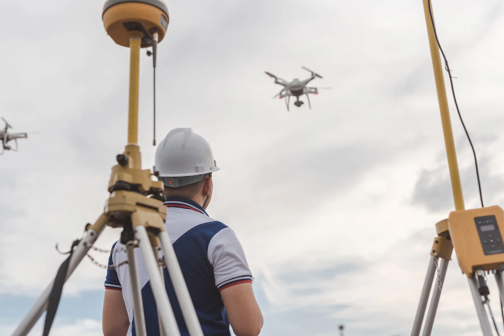
RTK Geodetic Surveys
Centimetre precision from the air
Precise geodetic surveys using RTK-equipped (Real-Time Kinematic) drones. We create digital terrain models (DEM/DSM), elevation maps and earthwork volume measurements with accuracy down to 1 cm. The ideal solution for surveyors, developers and construction companies.
What's included
- Digital terrain models (DEM/DSM)
- Earthwork volume measurements
- Elevation maps and profiles
- RTK-precision orthophotomaps
- Green area inventory
- GIS and CAD-ready data
Equipment
Enterprise-Grade Technology
Our inspections are performed using a DJI Enterprise fleet equipped with RTK (Real-Time Kinematic) modules ensuring centimeter-level positioning accuracy and high-resolution radiometric thermal cameras. This guarantees data you can rely on.
Radiometric Thermography
1280×1024 px imagery. With Super Resolution technology we detect thermal anomalies with unprecedented precision, impossible for standard drones.
Laser Range Finder
Accurate distance and surface measurements from the air. Precise defect location marking (PinPoint) without entering the structure.
112x Hybrid Zoom
Inspection of the finest details (bolts, rivets, corrosion) from a safe distance, without taking installations out of service.
24/7 Operational Readiness
Capability for flights in low light (Night Vision) and resistance to wind and harsh weather conditions (IP55).
Wszystkie usługi specjalistyczne
Szukasz konkretnej usługi dronowej?
Mamy dedykowane strony dla fotogrametrii, ortofotomap, inspekcji konkretnych obiektów, monitoringu inwestycji i wielu innych usług specjalistycznych — każda z opisem zakresu, FAQ i cennikiem.
Zobacz pełną mapę usługNeed a drone inspection?
Contact us and we'll prepare an offer tailored to your project.