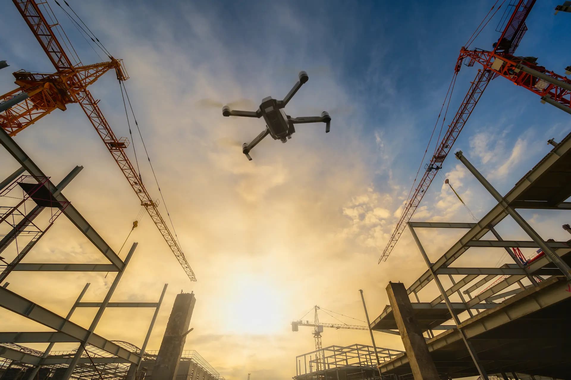
Construction Monitoring
Drone Construction Monitoring — Orthomaps and 3D Models
Periodic flights over the construction site deliver precise progress data. Orthomaps, point clouds and 3D models compatible with BIM/CAD.
1 cm
RTK horizontal accuracy
3D
Photogrammetric models
BIM
CAD/BIM compatible
7+
Export formats
What does drone construction monitoring cover?
Site Orthomaps
Stitched from hundreds of images with centimetre RTK precision. Ready for import into AutoCAD, Revit and Trimble.
3D Models and Point Clouds
Full photogrammetric models of the construction site. Volume verification, verticality control and inventory of material stockpiles.
Periodic Progress Reports
Photos and video from every construction stage. Documentation for investors, court experts and building supervisory authorities.
Material Stockpile Verification
Volume measurement of stored materials (aggregate, soil, concrete) without manual measuring. Saves time and minimises errors.
Compliance with Design
Comparison of 3D construction model with BIM design. Immediate detection of deviations before they become costly execution errors.
Investor and Bank Documentation
Formal certified progress reports required by banks for loan tranche disbursement and by insurance companies.
Who is drone construction monitoring for?
Drone construction monitoring is designed for construction industry professionals who need objective, regular progress documentation. Our RTK-precision orthophotomaps and 3D models deliver data that eliminates disputes over work progress, simplifies subcontractor settlements and provides professional material for reporting to investors and financing banks.
Get Free QuoteHow does drone construction monitoring work?
Scope definition
We define flight frequency (weekly, fortnightly, monthly), documentation scope and export formats. We set a schedule aligned with the construction plan.
Flight planning
Before each flight we plan the route considering current site conditions, obstacles and airspace zones. We calibrate the RTK module.
Flight execution
The RTK-equipped drone performs the planned flight, collecting hundreds of georeferenced high-resolution images. The entire flight takes 30–90 minutes.
Processing and delivery
From raw data we generate orthophotomaps, 3D models, point clouds and comparative reports. Materials are delivered in CAD/BIM/GIS formats by the agreed deadline.
Construction Documentation Pricing
Transparent pricing for drone construction documentation. Travel up to 15 km from Wroclaw included.
Basic
up to 500 m²
590 zł
net
You save 140 zł
- 1 drone flight
- 15–20 aerial photos in 4K
- Short video clip
- Delivery within 48h
Standard
500–2,000 m²
890 zł
net
You save 200 zł
- Everything in Basic, plus:
- 30 photos + 15 min video
- PDF progress report
- Client portal access
- Delivery within 24h
Premium
over 2,000 m²
1290 zł
net
You save 300 zł
- Everything in Standard, plus:
- 50 photos + full video
- Detailed technical report
- Site orthophotomap
- Before/after comparison documentation
All prices in PLN net. Travel up to 15 km from Wroclaw included. Beyond: +1.50 PLN/km.
3D Models & Orthophotomaps Pricing
Precise 3D documentation for your investment. Travel up to 15 km from Wroclaw included.
Basic 3D
up to 500 m²
1590 zł
net
You save 400 zł
- 3D model of the building
- 30–50 drone photos
- Textured mesh
- Export OBJ / PLY / PDF 3D
- Delivery within 5 business days
Standard 3D
500–2,000 m²
2290 zł
net
You save 500 zł
- Everything in Basic, plus:
- 3D model + orthophotomap
- Digital surface model (DSM)
- GeoTIFF data
- Client portal access
- Delivery within 3 business days
Premium 3D
over 2,000 m²
3290 zł
net
You save 800 zł
- Everything in Standard, plus:
- High-resolution 3D model
- Volume measurements
- BIM-compatible data
- Expert consultation (30 min)
- Priority delivery
All prices in PLN net. Travel up to 15 km from Wroclaw included. Beyond: +1.50 PLN/km.
Who is construction monitoring for?
FAQ — Drone Construction Monitoring
How often are monitoring flights performed?
What is an orthomap and what is it used for?
Are 3D models compatible with BIM and CAD?
How accurate are RTK measurements?
Does drone documentation have legal value?
What file formats do you deliver?
Can you monitor construction remotely, without our presence?
Ready to get started?
Contact us and we'll send you a quote within 24h.