Drones for Construction
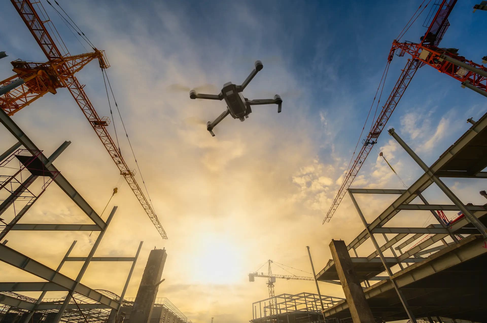
Drone Inspections in Construction and on Building Sites
Construction progress monitoring, roof and facade inspection, earthwork volume measurements — all from the air, without scaffolding or downtime. Photo documentation and 3D models.
48 MP
Photo resolution
±2 cm
RTK measurement accuracy
3D
Photogrammetric models
24h
Report ready
What does a construction drone inspection cover?
Construction progress monitoring
Regular flights documenting work progress from above. Geotagged photos with dates — undeniable evidence for the investor, site manager and building inspector.
Volume and cubature measurements
Precise volume measurements of stockpiles, excavations and embankments based on 3D models with RTK accuracy ±2 cm. Eliminates manual geodetic measurements.
Roof and facade inspection
Detailed photos of roofing, flashings and facades without scaffolding. 112× zoom reveals even small cracks and defects.
Quality control
Verification of construction compliance with the design. Comparing the orthophoto with design drawings detects deviations before they become costly problems.
Aerial safety inspection
Site safety checks: excavation protection, fencing, material storage. Documentation without entering the danger zone.
Orthophoto and 3D model
Precise site orthophoto and photogrammetric 3D model. Data ready for BIM, GIS and project documentation.
Who benefits from drone inspections in construction?
Drones reduce construction documentation time from days to hours. Instead of renting scaffolding to inspect a roof or sending a surveyor with a total station, one flight delivers an orthophoto, 3D model and detailed images of every element. The investor sees progress, the site manager has evidence, and the inspector has full documentation.
Get Free QuoteHow does a construction drone inspection work?
Flight planning
We define documentation scope, flight frequency and checkpoints. We verify airspace zones and weather conditions.
Photogrammetric flight
The drone carries out the planned flight with a 48 MP camera and RTK module. Photos with 70–80% overlap provide material for orthophotos and 3D models.
Data processing
We generate orthophotos, 3D models, calculate volumes and prepare comparisons with previous flights or the design.
Report and documentation
We deliver a PDF report with photos, GeoTIFF orthophoto, 3D model and change analysis. Data ready for BIM and GIS import.
Drone applications in construction
Frequently asked questions — construction
Can a drone fly over an active construction site?
How often should construction progress be monitored?
Does a drone orthophoto replace a geodetic survey?
What files do I receive after a photogrammetric flight?
Can a drone measure aggregate stockpile volume?
How much does construction site drone monitoring cost?
Can I compare construction progress over time?
Ready to get started?
Contact us and we'll send you a quote within 24h.