Drones for Agriculture
Precision Agriculture with Drone Technology
Field mapping, crop health analysis (NDVI) and centimetre-resolution orthophotos. Data for precision fertilization, crop protection and yield optimization.
48 MP
Photo resolution
NDVI
Vegetation index
±2 cm
RTK accuracy
100 ha
Mapped per day
What does an agricultural drone inspection cover?
Crop health monitoring
Vegetation analysis using multispectral imagery. The NDVI index shows which field areas need intervention — before the problem is visible to the naked eye.
Field orthophoto
Precise centimetre-resolution field map with RTK ±2 cm accuracy. Foundation for variable rate fertilization and precision farming.
Irrigation analysis
Identification of zones with excessive moisture or drought using thermal imaging and vegetation indices. Irrigation system optimization.
Damage assessment
Documentation of damage from hail, drought, flooding or storms. Precise orthophoto with damaged crop area calculation for insurance claims.
Disease and pest detection
Changes in plant colour and condition visible on the NDVI map indicate fungal disease outbreaks and pest damage before they spread across the entire field.
Agronomic report
Complete report with NDVI maps, orthophoto, zone analysis and recommendations for fertilization and crop protection.
Who benefits from drone precision farming?
Drones give farmers eyes in the sky. Instead of walking a 100-hectare field looking for problems, one hour of flight delivers an NDVI map showing the condition of every square metre. Result: precise fertilization, rapid response to disease and pests, documented losses for insurance.
Get Free QuoteHow does a drone agricultural inspection work?
Mission planning
We establish acreage and crop type, define areas of interest and plan the flight route with optimal altitude and photo overlap.
Field flight
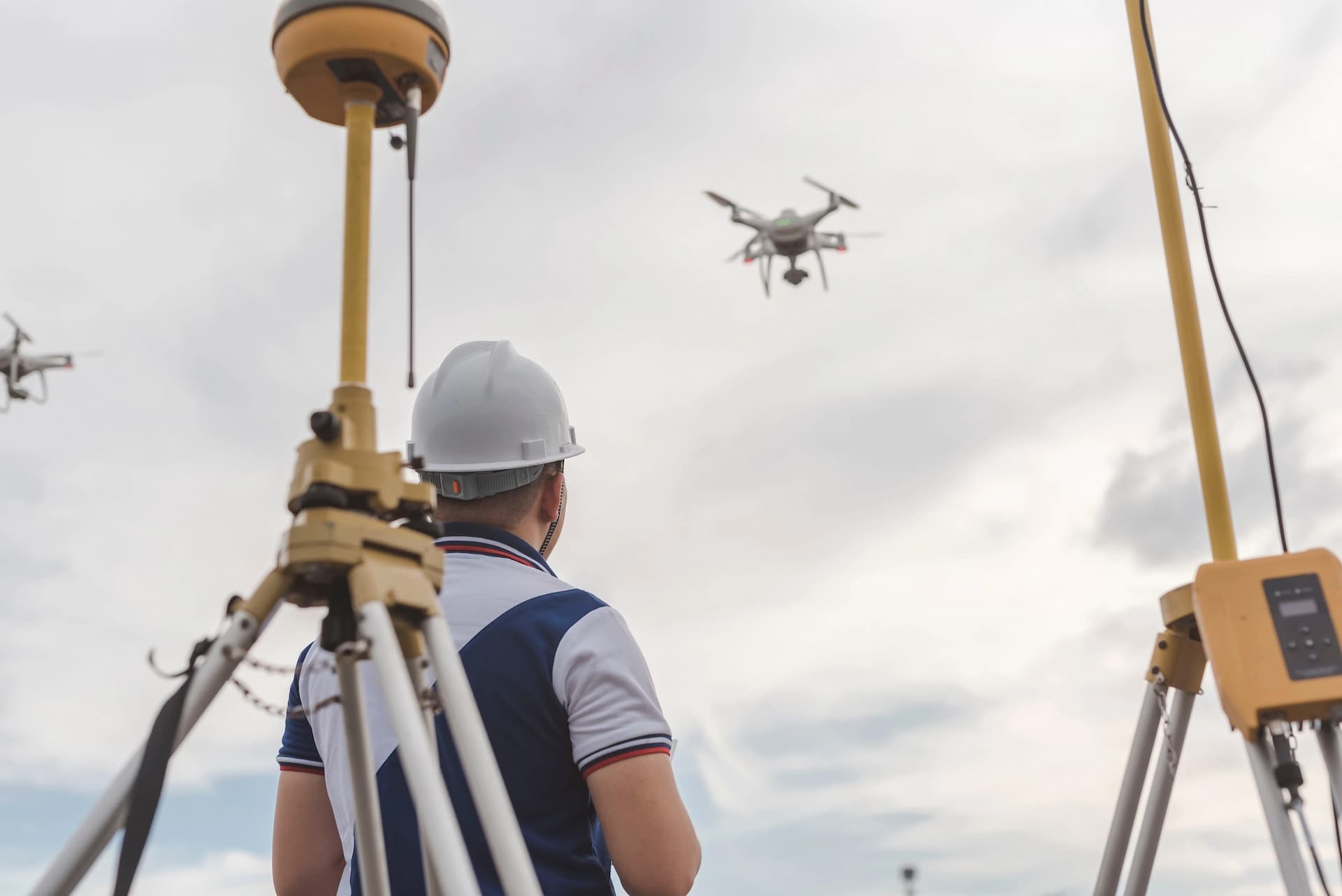
The drone with multispectral camera and RTK module performs an automatic flight at set altitude. 100 hectares in one working day.
Data processing
We generate orthophotos, NDVI maps and other vegetation indices. Zone analysis identifies areas requiring intervention.
Report and recommendations
We deliver a report with maps, crop condition analysis and agronomic recommendations. Data exportable in formats compatible with field terminals.
Drone applications in agriculture
Frequently asked questions — agriculture
What is NDVI and how does it help in agriculture?
How many hectares can a drone map in one day?
Can I use drone data in my field terminal?
When is the best time to fly over crops?
Can a drone detect crop disease before it's visible to the eye?
How much does drone field mapping cost?
Can I order damage documentation only for insurance?
Ready to get started?
Contact us and we'll send you a quote within 24h.